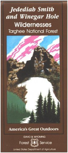
Map: Jedediah Smith Wilderness & Winegar Hole Wilderness
Product details
| Management number | 250091388 | Release Date | 2026/09/17 | List Price | US$11.43 | Model Number | 250091388 | ||
|---|---|---|---|---|---|---|---|---|---|
| Category | |||||||||
Applies to: Wyoming; Idaho. This maps shows topographic information, camping and recreation areas, corrals, and other Forest Service facilities for the Jedediah Smith Wilderness and the Winegar Hill Wilderness in the Caribou Targhee National Forest. Map covers lands north to south from Grassy Lake Reservoir to Jackson WY, and the western part of Teton National Park. Forest roads accessing the trailheads are found off of WY Hwy 22 and ID Hwy 33 near Driggs ID, Victor ID, and Wilson WY. Forest roads and trails are clearly marked for people hiking, backpacking, or horseback riding in the wilderness. Teton National Park is adjacent to the wilderness eastern boundary. Map is useful for WY Deer Hunting Units 149, 151, and 150; WY Elk HU 73,78, and 85. 1991 Read more
Bestseller ranking
Corrugated Boxes



Customers who viewed this product also viewed
Topographic Maps




Correction of product information
If you notice any omissions or errors in the product information on this page, please use the correction request form below.
Correction Request Form